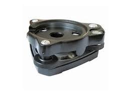
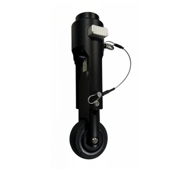
Versatile Use: Ideal for various applications including topographic surveys, volume surveys, site preparation, and GIS projects. Enhanced Stability: The wheel (optional) allows you to effortlessly carry the weight of all your GPS equipment while maintaining stability. Smooth Ride: Equipped with a non-pneumatic, microcellular wheel (optional), it provides a smooth and maintenance-free experience.


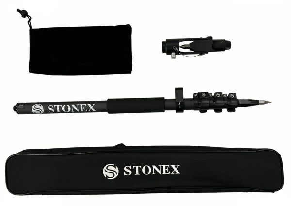
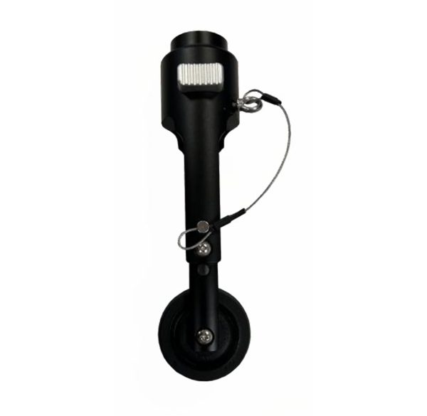
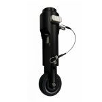
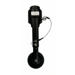
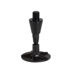
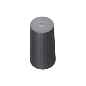
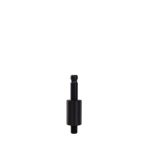
GNSS Pole with roller tip
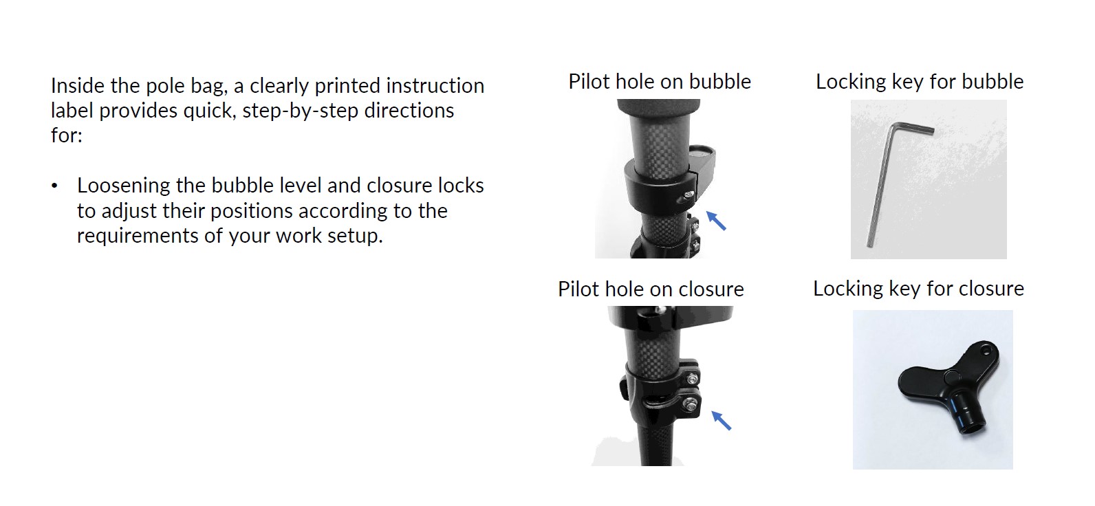
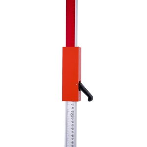
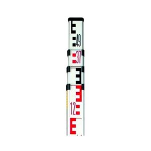
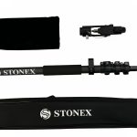
The wheel is an optional accessory for the new carbonium pole, length 1,80m (1,895m with the tip roller), composed of three sections and featuring secure closures.
Related products
Measuring tape
Nr. 18110000
Measuring tapes are indispensable accessories for your equipment.
Measuring tape made of glass fibre – 13mm wide.
Reflective target marker 40 x 40 mm (20 pieces in a set)
The reflective target markers from NESTLE are UV and weather resistant and achieve an average target range of up to 90 m due to the microprism honeycomb reflection.
ROD5N
Telescopic levelling rod made of light and durable aluminium; silk-screened with moisture-resistant inks. Max extension: 5 m
Telescopic meters
• Two indices for inner and outer dimensions.
• Horizontal and vertical bubble level for exact handling.
• Accuracy according to MID-guidelines.
• Anodized aluminium square tubes for a solid and stable stand.
• Bilateral pressure spring lock prevents the elements from slumping
down.
• All models incl. carrying bag made of sailcloth.
• The TELEFIX- telescopic meters are available at 3m, 4m, 5m, 6m, 8m
and 10m length.
Reach RS3/RS2+ LoRa antenna
Compatible with Reach RS3, Reach RS2/RS2+, Reach RS+, and the original Reach RS.
Sand plate for GNSS rod, screwable
Screwable sand plate for all Nestle prism and GNSS poles with unscrewable tip.
STSI44-F3B1
Levelling rod [Aluminum, 2 sides, 4m,4 sections, FS=10mm(E), BS=1mm
Reach RS3/RS2+ thread adapter
Thread adapter 1/4” female (photo tripod thread) to 5/8” male. Adapter height 6 mm.
Compatible with Reach RS3/RS2/RS2+.
Laser batten with sliding adapter clamping lever
Ideal for level work with rotating lasers
Pano Camera
Enhance your SLAM survey by adding important properties such as the 360° panoramic photos and visualize your point cloud with images for contextual image referencing.