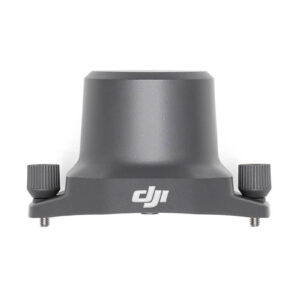
DJI D-RTK 2
Supports four global satellite navigation systems — BeiDou, GPS, Galileo, GLONASS, and 11-frequency satellite reception, providing real-time differential corrections to facilitate the aircraft in centimeter-level precision positioning. It also supports coordinated operations involving multiple drones and an IP65 protection rating.
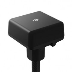
DJI Mavic 3 Enterprise Series RTK Module
DJI Mavic 3 Enterprise Series RTK Module is compatible with DJI Mavic 3 Enterprise Series aircraft. It provides centimeter-level precision positioning when used with the Network RTK service, Custom Network RTK service, or D-RTK 2 Mobile Station.
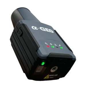
GeoPuls
GeoPuls is a brand-new RTK instrument with laser function. Its appearance is bold and innovative, and its performance is excellent.
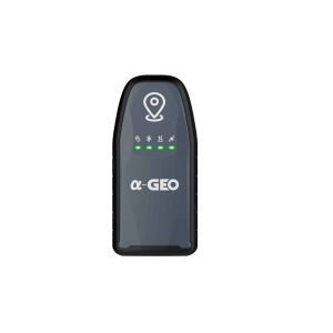
L100 PRO+
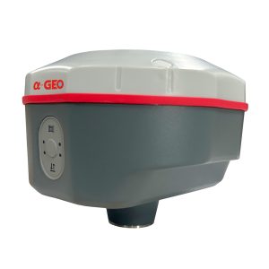
L100 PRO + is a new generation of compact smart GNSS receivers designed for various surveying projects using latest GNSS features. This receiver equipped with modern required technologies such as Bluetooth module, IMU tilt sensor, 7000mAh lithium-ion internal battery, etc. L100 PRO + is able to work in different work modes (Network RTK, Static & PPK) based on different required accuracy & conditions. L100 PRO+ is the most economic GNSS package you can purchase to fulfill your technical needs on field!
L2
L2 Plus
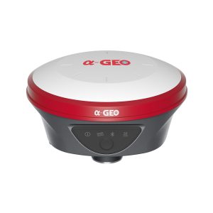
L300
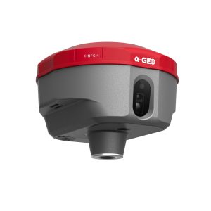
L300 is a compact new generation of smart GNSS receiver designed for surveying project using the latest GNSS technology.
Matrix II
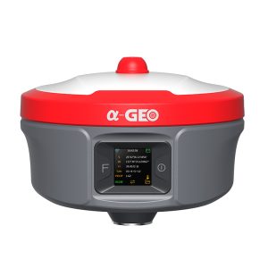
MATRIX II is a compact new generation of smart laser AR RTK designed for any surveying project using the latest GNSS technology.
Matrix II Lite
MATRIX II Lite is a compact new generation of smart designed for any surveying project using the latest GNSS technology.
Matrix Ultra
AlphaGEO Matrix Ultra is a fully integrated GNSS receiver, which is designed for surveyors who require long working distance when using Base and Rover mode via UHF mode. With its 2/5W internal radio, the typical coverage of working area up to 10/20km under general environments, eliminating the need for a heavy external battery, external radio, antenna and cables.
Matrix Ultra-B
AlphaGEO Matrix Ultra-B is a fully integrated GNSS receiver, which is designed for surveyors who require long working distance when using Base and Rover mode via UHF mode. With its 2/5W internal radio, the typical coverage of working area up to 10/20km under general environments, eliminating the need for a heavy external battery, external radio, antenna and cables.
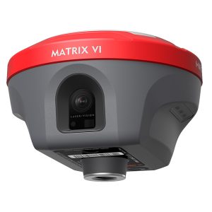
Matrix VI
Matrix VI is a brand new functional GNSS receiver merges Visual
Positioning, AR real-scene stakeout and Laser measurement
technologies, once breaking through the limitations of GNSS
products, offering surveyors more convenience and productive
solutions.


