
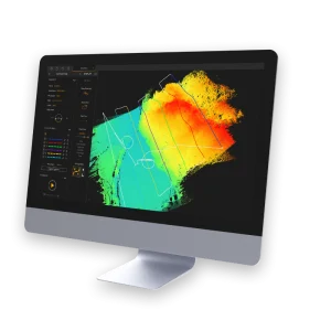
CloudStation
Highlights:
YellowScan software provides you with auto-detection of strips, in-depth configuration and LAS files exports to interface with all your tools.
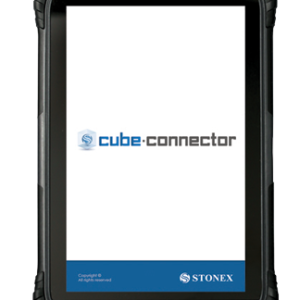
Cube connector
Highlights:
Cube connector is Android APP and it has been developed to connect Android devices to Stonex GPS receivers.
In order to be connected to the GPS, the Android Smartphone / Tablet must be paired with the GPS by Bluetooth.
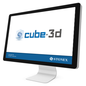
Cube-3d
Highlights:
Cube-3d is a complete software for 3D data management, built by two modules for photogrammetry and for scanner data. The former processes images (or videos) to generate accurate digital maps and 3D models with extreme precision; the latter provides tools to align point clouds.
Cube-a v7.0
Highlights:
Cube-a offers modular flexibility, enabling each of the main modules to be used individually or combined for mixed surveying, allowing users to seamlessly integrate different surveying techniques and maximize functionality based on their specific needs.
Cube-nrtk
Highlights:
Cube-nrtk is a GNSS software designed for managing GNSS station networks. Utilizing data from reference stations in real-time, it calculates a network solution to provide users with accurate positioning. The software offers an intuitive graphical interface for real-time monitoring of network performance and user activity.
FieldGenius
Highlights:
Stonex FieldGenius was designed for Land Surveying, Civil Engineering, Seismic Surveying, and
Construction Staking professionals to provide unequalled data collection simplicity and field calculating performance.
The Graphic User interface allows you to build the drawing as you measure, providing you with
instant visual confirmation of accurate data collection and survey calculations. It includes the ability
to draw linework as you measure from point to point without the need for cumbersome line coding.
LiveStation
Highlights:
YellowScan LiveStation enables you
to monitor in real time the validity and
quality of the data being collected by the
YellowScan LiDAR systems, to ensure
that the survey is going smoothly.
A must for long endurance or critical
LiDAR flights.

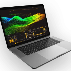
PointCab Origins
Highlights:
The point cloud software Origins:
Evaluate point clouds easily, for architects, engineers, the construction sector, and more.
Capture your environment, quickly evaluate point clouds, and share results.
SurPro
Highlights:
SurPro was created with the aim of offering surveying experts unparalleled ease in collecting data and high-performance field calculations. The user-friendly interface enables you to construct the drawing while taking measurements, ensuring immediate visual confirmation of precise data collection and survey calculations.

TerraMatch
Highlights:
TerraMatch is a sophisticated tool for improving the accuracy and quality of the raw laser point cloud. It compares laser data from overlapping flight or drive paths and calculates correction values for the misalignment angles as well as xyz location errors. The comparison and correction value calculation can be either based on surface matching or on different types of tie lines.


TerraModeler
Highlights:
With TerraModeler you can create, edit, and utilize surface models. TerraModeler creates surface models (TINs) from various sources, such as LiDAR points stored in binary files or loaded in TerraScan, XYZ ascii files and graphical design elements. The software offers versatile visualization options including colored shaded surfaces, contour lines, grids, colored triangle nets, elevation texts, slope directions and textured surfaces (in combination with TerraPhoto).

TerraPhoto
Highlights:
TerraPhoto is specifically developed for processing images captured together with laser data during a survey mission. The software enables the production of rectified images and ortho mosaics based on ground model that has been extracted from the laser data. The positioning of the source images can be refined by using tie points for image-to-image adjustment while ground control point can be involved for improving the absolute accuracy of the image block.