Jaunākie produkti
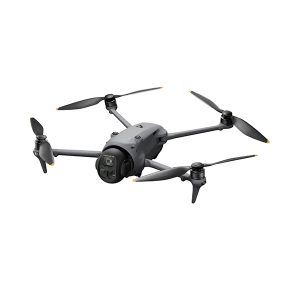
Mavic 4 Pro
100MP Hasselblad main camera, large CMOS dual tele cameras, Infinity Gimbal with 360° rotation, 0.1-Lux Nightscape Omnidirectional Obstacle Sensing, O4+ Video Transmission…DJI Mavic 4 Pro is a game-changer, boasting cutting-edge features that redefine our technology and take DJI drone imaging and flight performance to unprecedented levels. This triple-camera flagship drone is set to transform how you create and explore new horizons in aerial photography.
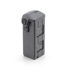
DJI Mavic 4 Pro Intelligent Flight Battery
Provides a max flight time of 51 minutes*, allowing you to explore more of your surroundings and fly with peace of mind.
DJI Mavic 4 Pro ND Filters Set (ND8/16/32/64)
The ND Filters Set meets photographers’ needs when shooting long-exposure shots or in strong lighting conditions (e.g., long-exposure timelapse).
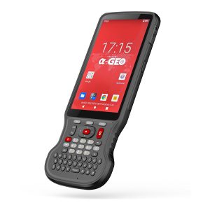
A-Tab
utilizes Gorila Glass, enhancing durability while ofering exceptional sunlight readability.
Mūsu pakalpojumi

Būvniecība
Grūti risināmiem būvniecības projektiem „A-GEO” piedāvā izturīgas un augstas precizitātes mērniecības iekārtas, kas paredzētas, lai izturētu sarežģītus vides apstākļus.

Ēku celtniecība
A-GEO piedāvā dažādas mērniecības iekārtas un risinājumus, kas pielāgoti ēku būvniecības projektu unikālajām vajadzībām.

Komunālie pakalpojumi
A-GEO izprot, cik svarīga ir mērniecības loma ar komunālajiem pakalpojum saistītos projektos. Mēs piedāvājam šai nozarei specifiskas mērniecības iekārtas, piemēram, pazemes lokatorus, cauruļu un kabeļu lokatorus un GIS kartēšanas rīkus.

Monitorings
Monitoringa projektiem nepieciešama nepārtraukta datu vākšana un analīze. A-GEO piedāvā modernākās monitoringa iekārtas, piemēram, slīpuma mērierīces, tahimetrus un tālizpētes tehnoloģijas.
Populāras preces
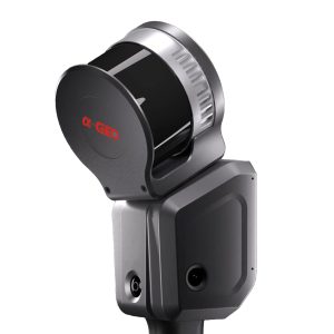
Lixel L2
Lixel L2 is an new generation handheld real-time 3D reconstruction laser scanner, achieving a 300-meter scanning range with ultra-high precision of +-1.2cm. It can instantly output color point cloud without external devices, generating data is thinner, purer and more uniform. It brings about a transformation in the efficiency and quality of 3D modeling and reality capture.
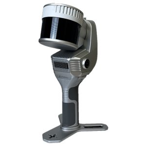
X200GO
The X200GO is the latest generation system based on the SLAM technology, capable of covering any customer need.
The range of up to 300 metres and a rotating head that maximises the coverage of the laser beam make it versatile for any environment. Equipped with 2 cameras and RTK receiver for real-time point cloud colouring and orientation.
The two cameras provide navigable and measurable panoramic cameras superimposed on the 3D model. The system allows for the survey of static scans in X-Whizz mode, automatically aligned to the SLAM survey.
Backpack, shoulders hook, car mount and holder for DJI M350 can complete the system.
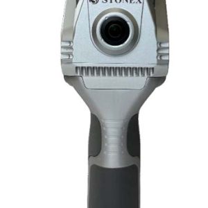
X40GO SLAM
X40G0 is a compact system providing high-precision point cloud data, based on SLAM technology.
The 70-meters range LiDAR orientation has been designed to maximize coverage and a 12-megapixel
camera provides texture information to the 3D model.
An affordable and simple solution, the idea for interior surveys and layout generation.
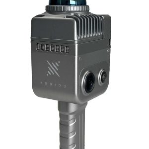
Lixel K1 With 2 Batteries
Lixel K1 is a compact handheld scanning and modeling device newly
announced. With a lightweight body, it integrates 56 million-pixel
panoramic vision modules and a 360 ° LiDAR, capable of real-time
generation of centimeter-level colored 3D models. Tailored for
professionals, small to medium-sized businesses, and 3D enthusiasts,
it offers a convenient solution for 3D capture and modeling.
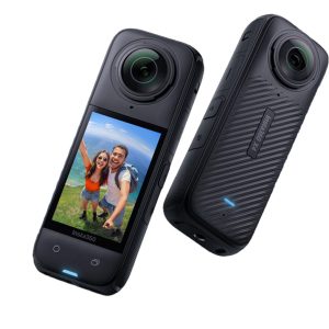
Pano Camera
Enhance your SLAM survey by adding important properties such as the 360° panoramic photos and visualize your point cloud with images for contextual image referencing.
Mērniecības iekārtas GNSS, 3D skeneri

Jaunākās ziņas

AlphaGEO L2 Pro 3D slam. Izpakošana, pirmā palaišana.
Sveiciens, dārgie skatītāji! Šajā video mēs iepazīstinām jūs ar mūsu jaunāko tehnoloģiju iegādi — **AlphaGeo Lixel L2Pro skeneru**! Kas notiek šajā video? **Iepakojuma atvēršana**: Jūs

DJI FLIP. Izpakošana…
Sveiki, visi! Šajā video mēs iepazīstamies ar jaunāko DJI Flip UAV – unikālu un inovatīvu bezpilota lidaparātu, kas solās mainīt mūsu redzējumu par gaisa fotogrāfiju

STONEX R120. Lauku tests ar Ediju.
Sveiki, dārgie skatītāji! Šodien mēs veiksim praktisku testu ar Stonex R120 robota tahimetru ārā. Mēs apvienosim vairākas funkcijas, lai demonstrētu šī instrumenta spējas un precizitāti.

Stonex R120 un R180 Robotizētie Tahimetri.
Sveiki visiem! Šodien mūsu YouTube kanālā vēlamies iepazīstināt jūs ar diviem izciliem instrumentiem no Stonex – R120 un R180 robota tahimetriem. Šie rīki ir ideāli


