
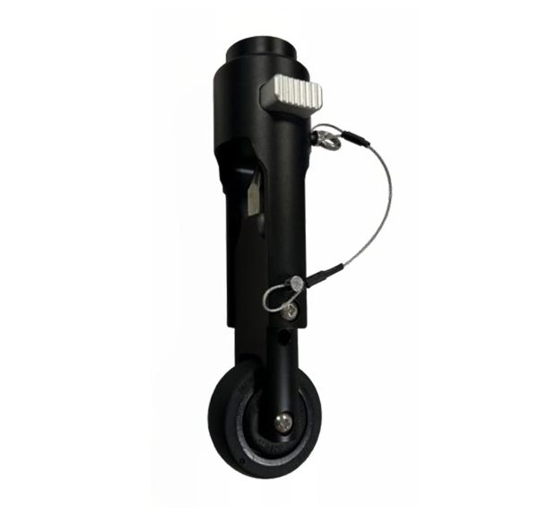
Versatile Use: Ideal for various applications including topographic surveys, volume surveys, site preparation, and GIS projects. Enhanced Stability: The wheel (optional) allows you to effortlessly carry the weight of all your GPS equipment while maintaining stability. Smooth Ride: Equipped with a non-pneumatic, microcellular wheel (optional), it provides a smooth and maintenance-free experience.
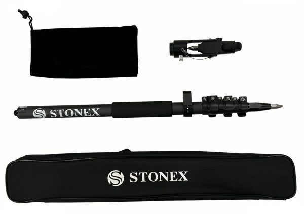
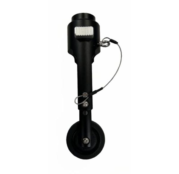
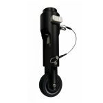
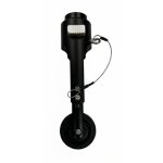
GNSS Pole with roller tip
In Stock
Highlights:
The wheel is an optional accessory for the new carbonium pole, length 1,80m (1,895m with the tip roller), composed of three sections and featuring secure closures.
Related products
Pano Camera
Highlights:
Enhance your SLAM survey by adding important properties such as the 360° panoramic photos and visualize your point cloud with images for contextual image referencing.
Reach RS3/RS2+ thread adapter
Highlights:
Thread adapter 1/4” female (photo tripod thread) to 5/8” male. Adapter height 6 mm.
Compatible with Reach RS3/RS2/RS2+.
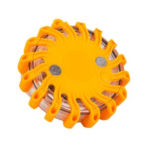
Warning light
Highlights:
Specifically designed for emergency situations, especially in the dark,
in the rain, fog and smoke.
The solid and robust construction (shock, vibration and water resistant),
it can withstand even the heaviest loads.
Nr. 19818000
Not approved for road traffic!
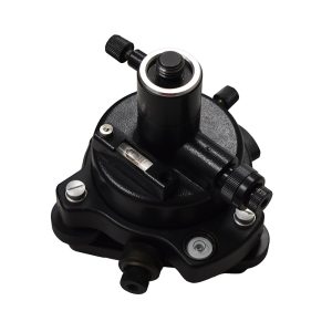
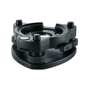
KIT Tribrach
Highlights:
KIT Tribrach, adapter with optical plummet, connecting screw, bag (TR-100)
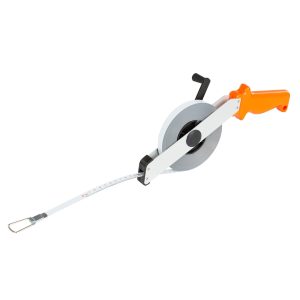
Steel measuring tape
Highlights:
Nr. 18106000
Measuring tapes are indispensable accessories for your equipment. Steel tapes are characterized by their high resistance. Made of hardened and polished steel, 13mm wide
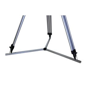
Three star for tripod as floor pad, 50 cm
Highlights:
The Dreistern, with a leg length of 50cm, for tripods is especially suitable for smooth surfaces. The Dreistern can simply be folded out and the tripod feet placed in the appropriate holes. The three-star prevents slipping and scratching of the surface on smooth floors.
Product number: 13929000
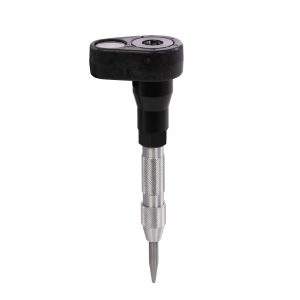
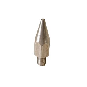
Prism Punch Marker (PN-1)
Highlights:
Mini prism pole with bubble level and integrated centre punch tip
Product number: 14047000
ZTR101
Highlights:
Standard Tribrach without optical plummet, black
Multi-band GNSS antenna
Highlights:
Multi-band helical GNSS antenna
Tracks L1/L2 bands on GPS, GLONASS, BeiDou and E1/E5 on Galileo.
Prism adapter, LEICA plug-in spigot
Highlights:
With the robust aluminium adapter, you can adjust the tilt axis height of your prism to the scale of the prism pole. Your NESTLE prism pole can thus be used with all common prisms.
Product number: 14924000