
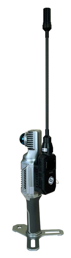
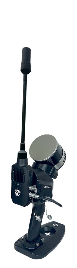


There are several reasons why the RTK module is worth using. First, it places your point cloud in a global coordinate system, but it can also be useful in large surveys to improve the composition of the final 3D model. Indeed, RTK module can help the system, adding GNSS info to LIDAR and IMU. If the GPS does not have a satellite connection, such as indoors, the system will rely on LIDAR and IMU to locate itself.
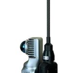
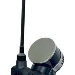
RTK MODULE
SPECIFICATION
- Satellite Signals Tracked
GPS L1, L2
GLONASS L1, L2
GALILEO E1, E5b
BDS B1, B2
- Fixed RTK (RMS)
Horizontal: 1 cm + 1 ppm
Vertical: 1.5 cm + 1 ppm
- Data Update Rate
20Hz
- Time Accuracy
20ns
- Speed Accuracy (RMS)
0.03 m/s
- Modem
LTE FDD: B1/B3/B5/B8
LTE TDD: B34/B38/B39/B40/B41
GSM: 900/1800MHz
PHYSICAL SPECIFICATION
- Weight
1.8 Kg
- Size
196 mm × 80 mm × 39 mm
- Operating Temperature
-20°C to +50°C (-4°F to 122°F)
- Waterproof/Dustproof
IP54
ANTENNA
- Size
27.5 mm × 56 mm
- Weight
15.3 g
- Optional
SA85 for backpack/vehicle mount
POWER SUPPLY
- Type-C USB
20V
- Aviation socket
12V-20V