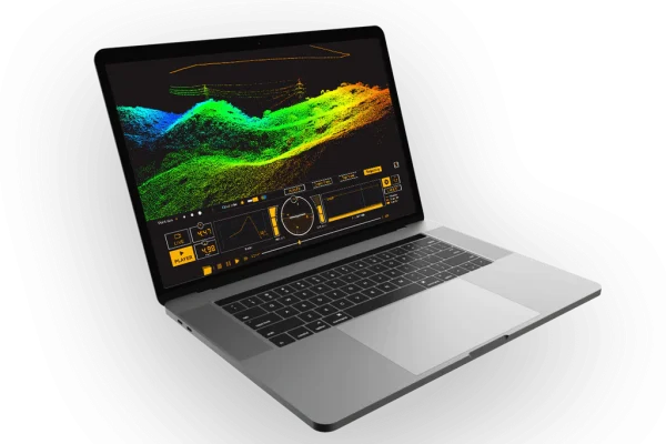
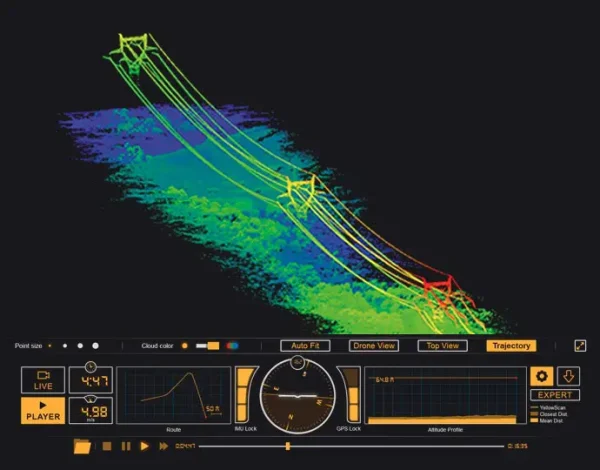
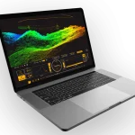
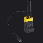
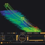
YellowScan LiveStation provides system operators with the immediate and relevant information needed to ensure a smooth acquisition even in difficult working conditions. YellowScan LiveStation renders a real-time, threedimensional representation of the point cloud during flight, with ability to zoom, translate or rotate. Simultaneously, the user interface presents an immediate summary of the system’s status. Missions can later be replayed for analyzing flight conditions and data.
LiveStation
YellowScan LiveStation enables you
to monitor in real time the validity and
quality of the data being collected by the
YellowScan LiDAR systems, to ensure
that the survey is going smoothly.
A must for long endurance or critical
LiDAR flights.
Related products
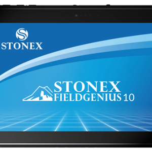
FieldGenius
Stonex FieldGenius was designed for Land Surveying, Civil Engineering, Seismic Surveying, and
Construction Staking professionals to provide unequalled data collection simplicity and field calculating performance.
The Graphic User interface allows you to build the drawing as you measure, providing you with
instant visual confirmation of accurate data collection and survey calculations. It includes the ability
to draw linework as you measure from point to point without the need for cumbersome line coding.
Cube-a v7.0
Cube-a offers modular flexibility, enabling each of the main modules to be used individually or combined for mixed surveying, allowing users to seamlessly integrate different surveying techniques and maximize functionality based on their specific needs.
Cube connector
Cube connector is Android APP and it has been developed to connect Android devices to Stonex GPS receivers.
In order to be connected to the GPS, the Android Smartphone / Tablet must be paired with the GPS by Bluetooth.


