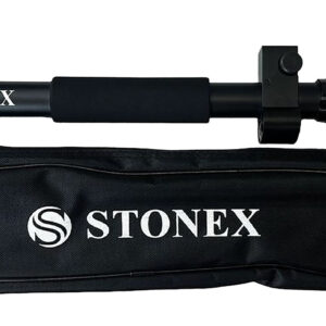
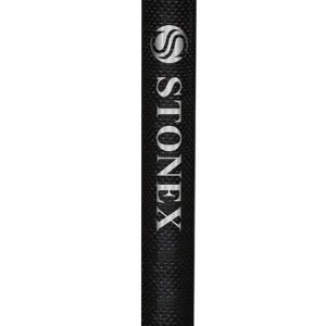
1.80 m Telescopic Pole for GNSS
This pole boasts a four-section design crafted from high-quality aluminum, ensuring maximum flexibility and durability. Its unique construction makes it suitable for a wide range of applications.
The telescopic design of the pole allows for easy extension and retraction, enabling you to quickly adjust the height to suit your specific requirements. This feature not only saves you time but also ensures that the pole can be efficiently stored when not in use, reducing clutter and making transportation a breeze.
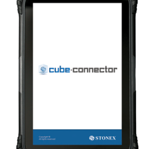
Cube connector
Cube connector is Android APP and it has been developed to connect Android devices to Stonex GPS receivers.
In order to be connected to the GPS, the Android Smartphone / Tablet must be paired with the GPS by Bluetooth.
Cube-3d
Cube-3d is a complete software for 3D data management, built by two modules for photogrammetry and for scanner data. The former processes images (or videos) to generate accurate digital maps and 3D models with extreme precision; the latter provides tools to align point clouds.
Cube-a v7.0
Cube-a offers modular flexibility, enabling each of the main modules to be used individually or combined for mixed surveying, allowing users to seamlessly integrate different surveying techniques and maximize functionality based on their specific needs.
Cube-nrtk
Cube-nrtk is a GNSS software designed for managing GNSS station networks. Utilizing data from reference stations in real-time, it calculates a network solution to provide users with accurate positioning. The software offers an intuitive graphical interface for real-time monitoring of network performance and user activity.
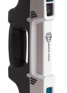
F6
STONEX F6 is the market leader 3D handheld scanner for fast scanning of big objects and large areas from short to far ranges.
Based on a patent algorithm of innovative encoding F6 provides superb quality of data making it the ultimate device for scanning complex scenes within seconds.
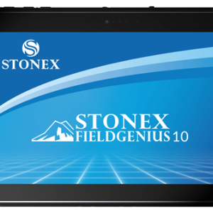
FieldGenius
Stonex FieldGenius was designed for Land Surveying, Civil Engineering, Seismic Surveying, and
Construction Staking professionals to provide unequalled data collection simplicity and field calculating performance.
The Graphic User interface allows you to build the drawing as you measure, providing you with
instant visual confirmation of accurate data collection and survey calculations. It includes the ability
to draw linework as you measure from point to point without the need for cumbersome line coding.
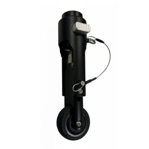
GNSS Pole with roller tip
The wheel is an optional accessory for the new carbonium pole, length 1,80m (1,895m with the tip roller), composed of three sections and featuring secure closures.
GNSS Survey Pole 2 M
2m
2 parts
Material: carbon fiber
with dragonfly
screw thread 5/8″
suitable for all Stonex GNSS receivers
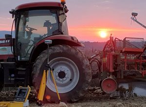
GPS technology for smart farming
STONEX offers numerous precision positioning solutions to meet the needs of the agricultural world. Stonex solutions for smart farming provide the ability to easily plan, schedule and manage jobs.
Thanks to the high level of accuracy of our receivers, Stonex are able to guarantee high positioning quality on various types of jobs. The solutions consist of hardware and software; moreover, they adapt to different types of machines becoming easily adaptable to the client’s needs.
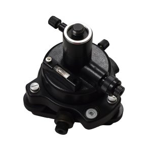
KIT Tribrach
KIT Tribrach, adapter with optical plummet, connecting screw, bag (TR-100)


