
- Please enter your account to make a purchase


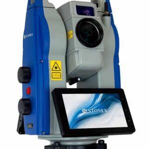
Cube-h24 TS Software, Field installation service (per day)

In Stock
Categories: Field Software, Software
Brands: Stonex
Related products
Cube-a v7.0
Highlights:
Cube-a offers modular flexibility, enabling each of the main modules to be used individually or combined for mixed surveying, allowing users to seamlessly integrate different surveying techniques and maximize functionality based on their specific needs.
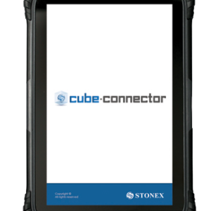
Cube connector
Highlights:
Cube connector is Android APP and it has been developed to connect Android devices to Stonex GPS receivers.
In order to be connected to the GPS, the Android Smartphone / Tablet must be paired with the GPS by Bluetooth.
LiveStation
Highlights:
YellowScan LiveStation enables you
to monitor in real time the validity and
quality of the data being collected by the
YellowScan LiDAR systems, to ensure
that the survey is going smoothly.
A must for long endurance or critical
LiDAR flights.
FieldGenius
Highlights:
Stonex FieldGenius was designed for Land Surveying, Civil Engineering, Seismic Surveying, and
Construction Staking professionals to provide unequalled data collection simplicity and field calculating performance.
The Graphic User interface allows you to build the drawing as you measure, providing you with
instant visual confirmation of accurate data collection and survey calculations. It includes the ability
to draw linework as you measure from point to point without the need for cumbersome line coding.

X-PAD Ultimate Survey
Highlights:
X-PAD Ultimate is easy-to-use, reliable field software
for total stations, GNSS, locators and levels. It comes
in three different versions: X-PAD Ultimate Survey and
X-PAD Ultimate Build, X-PAD Ultimate GO
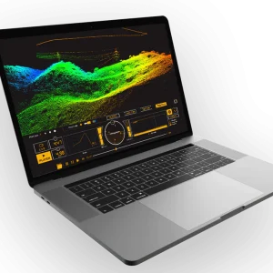
CloudStation
Highlights:
YellowScan software provides you with auto-detection of strips, in-depth configuration and LAS files exports to interface with all your tools.
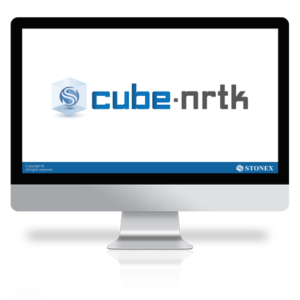
Cube-nrtk
Highlights:
Cube-nrtk is a GNSS software designed for managing GNSS station networks. Utilizing data from reference stations in real-time, it calculates a network solution to provide users with accurate positioning. The software offers an intuitive graphical interface for real-time monitoring of network performance and user activity.

SurPro
Highlights:
SurPro was created with the aim of offering surveying experts unparalleled ease in collecting data and high-performance field calculations. The user-friendly interface enables you to construct the drawing while taking measurements, ensuring immediate visual confirmation of precise data collection and survey calculations.


X-PAD 365
Highlights:
X-PAD 365 is the versatile, web-based platform by GeoMax, designed
to improve data storage, asset management and communication for
surveyors, construction professionals and equipment distributors.