
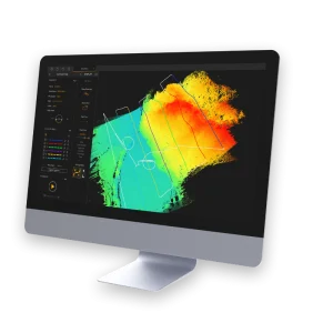

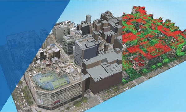
Point cloud management, processing and visualization is only one part of TerraScan. In addition, the software provides automated tools for creating 3D vector data based on the laser points. Users can produce 3D vector models of buildings (up to LOD2) automatically over nationwide areas, vectorize power lines, run corridor analysis reporting danger objects or analyze road surface condition or detect paint lines and curb stones. The results from the fully automatic classification can be refined by using half-automatic and manual classification tools in combination with versatile 3D point cloud visualization options.

TerraScan
In Stock
Highlights:
TerraScan is the main application in the Terrasolid Software family for managing and processing all types of point clouds. It offers import and project structuring tools for handling the massive number of points of a laser scanning campaign as well as the corresponding trajectory information. Various classification routines enable the automatic filtering of the point cloud.