
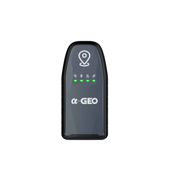

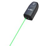

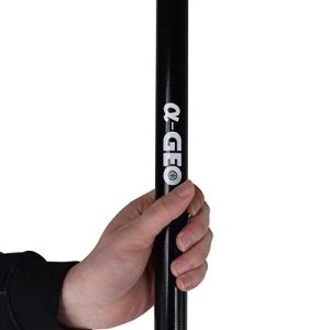

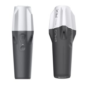
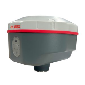
Based on the experience of the previous generation of laser equipment, Alpha-GEO have made more improvements, including no more frequent calibration, and the use of green laser to solve the problem of difficult to aim in bright light. In a real sense, it realizes measure where you aim, and replacing the pole in the traditional measurement method. However, we are also compatible with the pole mode, which allows the laser measurement to be used even when the pole is used. GeoPuls is a product that surveyors really need.
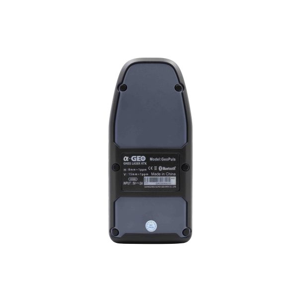
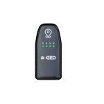
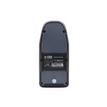
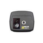
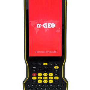
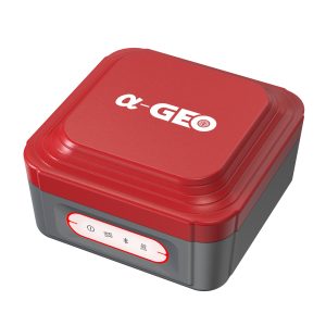
GeoPuls
SPECIFICATION
- Satellite signals tracked simultaneously
GPS: L1 C/A, L2C, L2P, L5
GLONASS: L1, L2
BEIDOU: B1, B2, B3, B1C, B2a, B2b
GALILEO: El/E5a/E5b/E6
QZSS: L1/L2/L5/L6
SBAS: WAAS, EGNOS, MSAS,
GAGAN, SDCM
- Channels
1408 channels
- Cold start
<60 s
- Hot start
<15 s
- Positioning output rate
1Hz-50Hz
- Signal Reacquisition
<1s
- RTK Initialization time
<5s
- Initialization Reliability
>99.99%
- Time accuracy
20 ns
Positioning
- Static GNSS surveying
Horizontal: ±(2.5mm + 0.5ppm)
Vertical: +(5mm+0.5ppm)
- RTK surveying
Horizontal: +(8mm + 1.0ppm)
Vertical: ±(15mm + 1.0ppm)
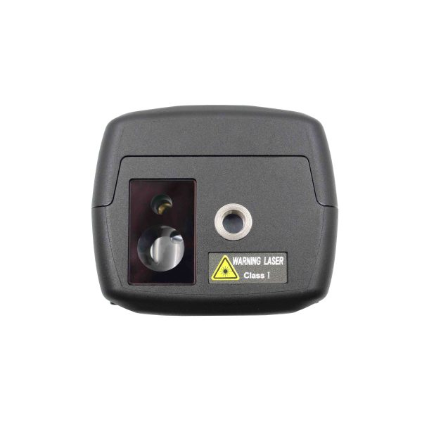
- Laser surveying
±1cm + 5mm/m
Data format
- Differential data
RTCM2.X, RTCM3.X
- GPS output data format
NMEA 0183s RTK, Binary code
Electrycal
Power:5V/2A
Support USB Type-C fast charging
Battery Life >12 h
Physical
- Material
Polymer Engineering Materials
- Dimensions
136.5x65x56(mm)
- Weight
300g
- Key
Power button
- Indicator
Power indicator, data link indicator, satellite indicator, Bluetooth indicator
- Operating temperature
-20°C to +75°C
- Storage temperature
-40°C to +85°C
- Protection IP
IP67 dust proof, protected from 30min immersion to depth of 1m
- Shock
Survive 2 m drop onto the concrete
- Vibration
MIL-STD-810G
- Humidity
100%, condensing
IMU
- IMU
Supported, 4D IMU initialization
- IMU update rate
400Hz
- IMU accuracy
<2.5cm within 120°
- IMU tilt compensation
0-120°