Komunālie pakalpojumi
Inženierkomunikāciju apsekošana ir apsekošanas veids, ko izmanto, lai noteiktu pazemes inženierkomunikāciju infrastruktūras veidu un atrašanās vietu un izveidotu klientam visaptverošu karti.
A-GEO izprot, cik svarīga ir mērniecības loma ar komunālajiem pakalpojum saistītos projektos. Mēs piedāvājam šai nozarei specifiskas mērniecības iekārtas, piemēram, pazemes lokatorus, cauruļu un kabeļu lokatorus un GIS kartēšanas rīkus. Mūsu apmācību programmas sniedz informāciju par inženierkomunikāciju mērniecības metožu lietošanu un attīsta prasmes programmatūru lietošanā inženierkomunikāciju kartēšanai un uzturēšanai. Mūsu konsultāciju pakalpojumi palīdz komunālo pakalpojumu uzņēmumiem optimizēt infrastruktūras pārvaldību un uzturēšanu.
Šajā nozarē izmantotie instrumenti:
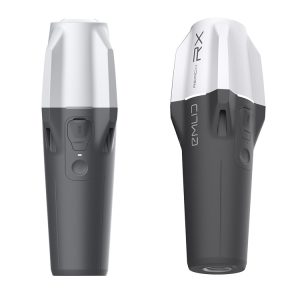
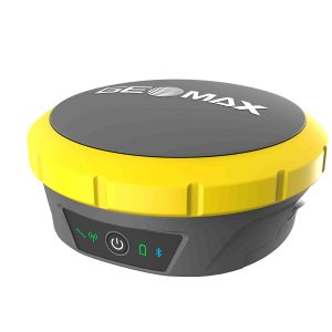
Reach RX
Reach RX uses Bluetooth allowing you to connect and start surveying in a few seconds. No settings to get wrong.
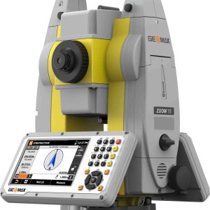
Zoom75
The GeoMax Zoom75 Series Robotic Total Station is packed with modern features to meet your surveying needs while remaining surprisingly affordable. This survey device is a smart choice for either construction professionals or surveying novices.
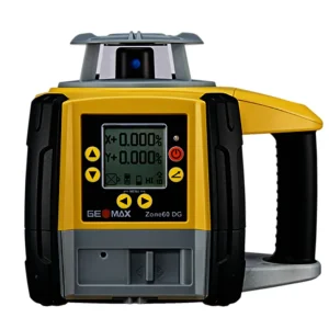
Zone60DG
The Zone60 DG is a fully-automatic grade laser in
both axes, specifically designed for crews that require
dependability and accuracy on a daily basis. Digital
grades can be entered up to 15% slope making it
suitable for almost any construction site.
Save even more time by using this laser with the
ZRD105B laser receiver, which automatically catches and
monitors the laser’s beam.
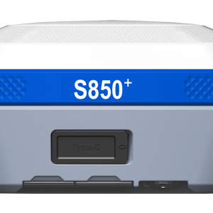
S850+
The Stonex S850
GNSS receiver is the ideal solution for any surveying
work in the field. The receiver’s advanced design gives the S850 excellent
signal tracking and interference resistance capabilities. The advantages of
portability and speed of operation make the S850 GNSS receiver
particularly suitable for field work in areas with complex terrain.
Zenith60
Become more productive and efficient with the Zenith60’s calibration-free tilt capability, making every
survey faster and more convenient. The antenna is resistant to magnetic interferences, so you can
enjoy the comfort of knowing you can trust your data.
NetBOX 2
EZiSYSTEM xf-Series
The EZiSYSTEM xf-Series utility locating and
tracing equipment makes locating buried utilities
easy and efficient. The xf-Series locators have
additional low frequencies enabling you to locate
and trace utilities over longer distances and
in congested environments.
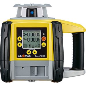
Zone75DG
Capable of operating at a speed of 15 rps (rotations
per second), the Zone75 DG is a perfect fit for machine
guidance solutions. With a laser beam that is stable
over longer distances, it is especially suited for land
levelling and agriculture applications.
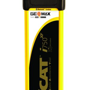
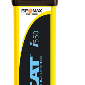
EZiSYSTEM i-Series
The EZiSYSTEM cable avoidance equipment makes locating buried cables and pipes easy and efficient. With an EZiSYSTEM i-Series locator, there is no need to manually adjust the sensitivity. With the unique Automatic Pinpointing feature users can simply hold the trigger and start locating.
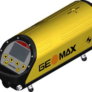
Zeta125
The various models of the Zeta125 Series give you the flexibility to choose a device that
perfectly fits your needs. With the outstanding grade range from -10% to 40%, the Zeta125 is
very versatile.


