
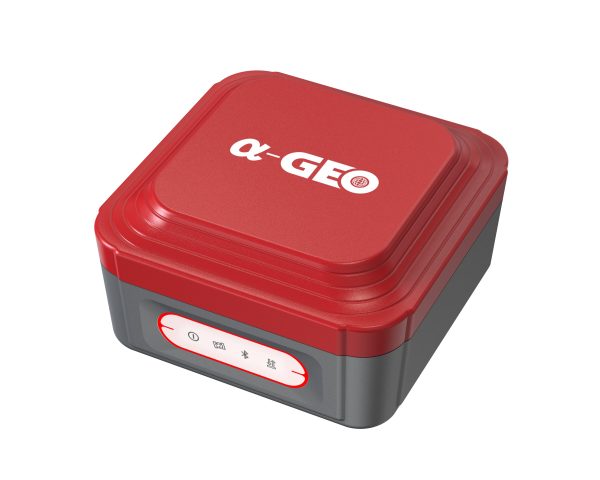


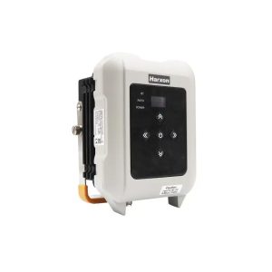


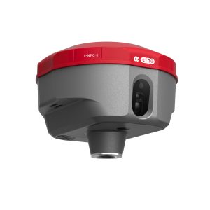

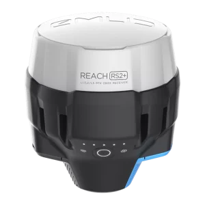
The a-GEO NetBOX2 with its 1408 channels new generation full GNSS chipset & ability to support multi satellite constellation including GPS, GLONASS, BEIDOU, GALILEO, QZSS, SBAS and IRNSS provides precise and accurate spatial data for all users around the world.
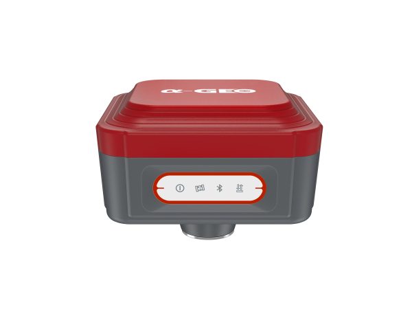
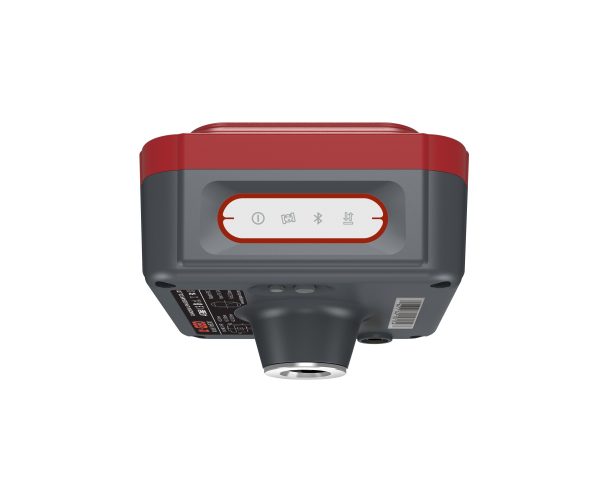
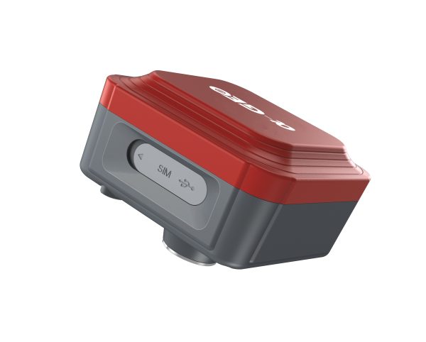
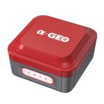
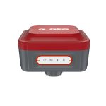
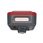
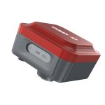
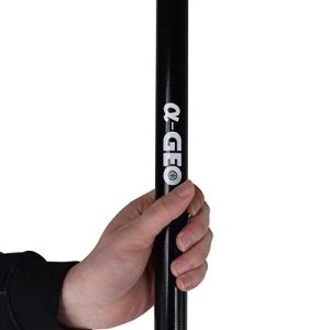
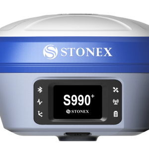
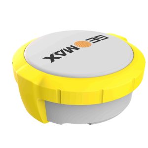
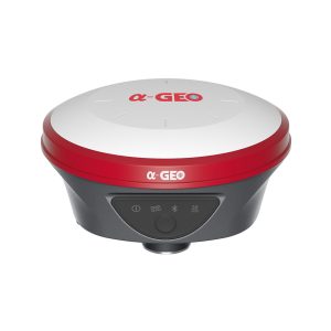
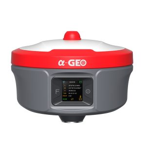
NetBOX 2
SPECIFICATION
- Satellite signals tracked simultaneously
GPS: L1 C/ALIC,L2P(Y),L2C,L5
GLONASS: L1,L2,L3
BEIDOU: B1,B2,B31,B1C,B2a,B2b
GALILEO: E1,E5a, E5b, E6
QZSS: L1,L2,L5,L6
SBAS: L1,L5
IRNSS: LS
- Channels
1408 channels
- Cold start
<60 s
- Hot start
<15 s
- Positioning output rate
1Hz-50Hz
- Signal Reacquisition
<1s
- RTK Initialization time
<5s
- Initialization Reliability
>99.99%
- Time accuracy
20 ns
Positioning
- Static GNSS surveying
Horizontal: 1(2.5mm +0.5ppm)
Vertical: ±(5mm + 0.5ppm)
- RTK Surveying
Horizontal: +(8mm + 1.0ppm)
Vertical: +(15mm + 1.0ppm)
Physycal
- Material
Magnesium alloy
- Dimensions
100x100x73mm
- Weight
0.55kg
- Operating temperature
-40°C to +75°C
- Storage temperature
-55°C to +85°C
- Protection IP
IP67 dust proof, protected from 30min immersion to depth of 1m
- Shock
IK08,Survive 2 m drop on the concrete
- Vibration
MIL-STD-810G
- Humidity
100%, condensing
IMU
- IMU
Supported, 4D IMU initialization in 3 seconds
- IMU update rate
400Hz
- IMU accuracy
<2.5cm within 30°
- IMU tilt compensation
0-60°