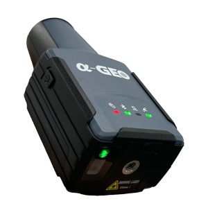



Pano Camera
SPECIFICATION
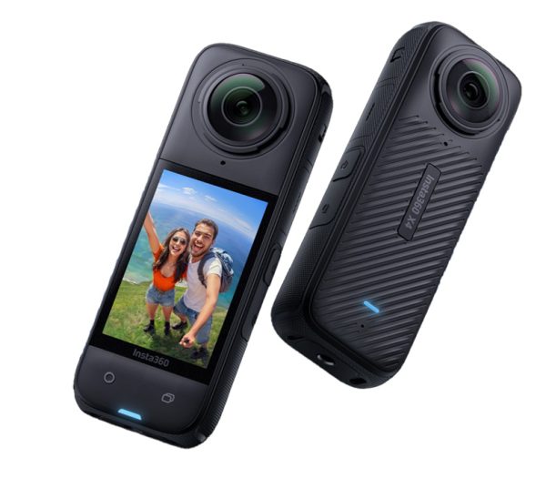
- Model
Insta360 X4
- Resolution
16.6 MPx
- Run time
135 min
- Weight
203 g
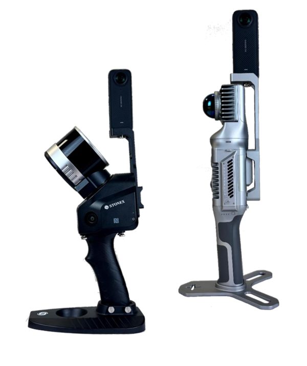
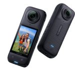
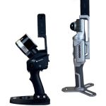

Enhance your SLAM survey by adding important properties such as the 360° panoramic photos and visualize your point cloud with images for contextual image referencing.
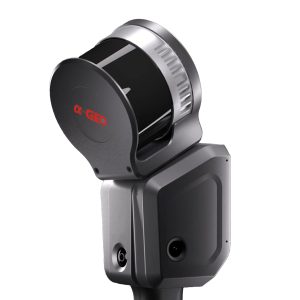
Lixel L2 is an new generation handheld real-time 3D reconstruction laser scanner, achieving a 300-meter scanning range with ultra-high precision of +-1.2cm. It can instantly output color point cloud without external devices, generating data is thinner, purer and more uniform. It brings about a transformation in the efficiency and quality of 3D modeling and reality capture.
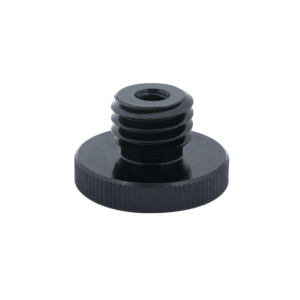
Thread adapter 1/4” female (photo tripod thread) to 5/8” male. Adapter height 6 mm.
Compatible with Reach RS3/RS2/RS2+.
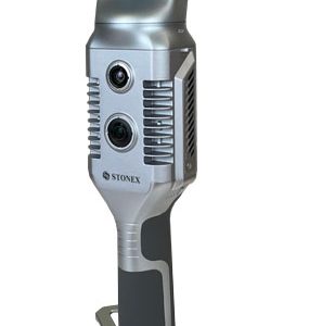
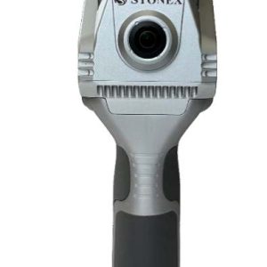
STONEX F6 is the market leader 3D handheld scanner for fast scanning of big objects and large areas from short to far ranges.
Based on a patent algorithm of innovative encoding F6 provides superb quality of data making it the ultimate device for scanning complex scenes within seconds.
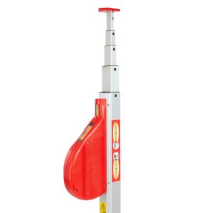
• Two indices for inner and outer dimensions.
• Horizontal and vertical bubble level for exact handling.
• Accuracy according to MID-guidelines.
• Anodized aluminium square tubes for a solid and stable stand.
• Bilateral pressure spring lock prevents the elements from slumping
down.
• All models incl. carrying bag made of sailcloth.
• The TELEFIX- telescopic meters are available at 3m, 4m, 5m, 6m, 8m
and 10m length.
X70GO is a real-time 3D model reconstruction device which integrates inertial navigation module, high performance computer and storage system. It is equipped with a 360° rotating head, which, combined with the SLAM algorithm, generates high-precision point cloud data.
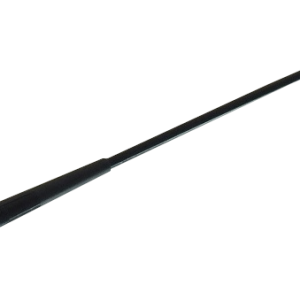
UHF antenna, 450MHz-470MHz, TNC, 29cm (AR-470)
X40G0 is a compact system providing high-precision point cloud data, based on SLAM technology.
The 70-meters range LiDAR orientation has been designed to maximize coverage and a 12-megapixel
camera provides texture information to the 3D model.
An affordable and simple solution, the idea for interior surveys and layout generation.
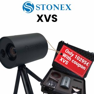
XVS system uses a technology based on the integration of high-resolution images, inertial systems and a complex algorithm: capturing a scenario with XVS, 3D model will be generated through photogrammetric techniques.
Walking and capturing the scene in motion, a real-time interface will guide you in the data collection, suggesting the speed of your movement and if necessary returning to an area to have enough image overlapping.
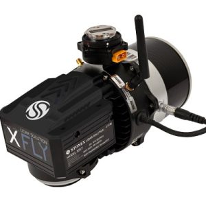
XFLY series integrates high performance Inertial Navigation System with camera and LiDAR for point cloud generation. Different customer’s need can be met by the choice of Hesai LiDAR XFLY120, XFLY300 or other sensors.
Nr. 18106000
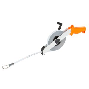
Measuring tapes are indispensable accessories for your equipment. Steel tapes are characterized by their high resistance. Made of hardened and polished steel, 13mm wide
Insta360 X4
16.6 MPx
135 min
203 g
Get access to your Orders, Wishlist and Recommendations.
Your personal data will be used to support your experience throughout this website, to manage access to your account, and for other purposes described in our privacy policy.
Shopping cart is empty!