
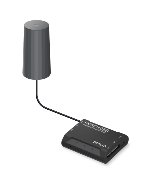


To calculate centimeter-precise coordinates in PPK and RTK, Reach needs corrections from a base station. It could be either another Reach receiver or an NTRIP service. VRS is also supported.
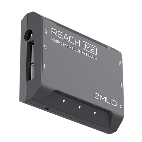
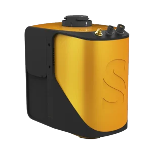
REACH M2
SPECIFICATION
- Dimensions
56.4 x 45.3 x 14.6 mm
- Weight
35 g
- Operating tº
-20 to +65 ºC
Electrical
- Power supply voltage on USB or JST-GH connectors
4.75 - 5.5 V
- Antenna DC bias
3.3 V
- Typical current consumption @5V
300 mA
Positioning
- Static horizontal
4 mm + 0.5 ppm
- Static vertical
8 mm + 1 ppm
- Kinematic horizontal
7 mm + 1 ppm
- Kinematic vertical
14 mm + 1 ppm
Connectivity
- Frequency range
868/915 MHz
- Distance
Up to 8 km
- Wi-Fi
802.11 b/g/n
- Bluetooth
4.0/2.1 EDR
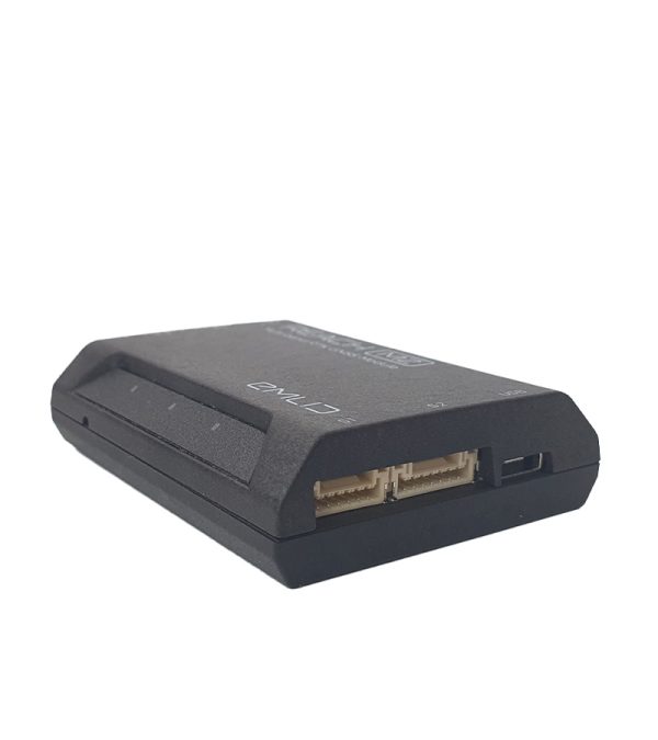
- Ports
USB, UART, Event
Data
- Corrections
NTRIP, VRS, RTCM3
- Position output
NMEA, LLH/XYZ
- Data logging
RINEX with events with update rate up to 10 Hz
- Internal storage
16 GB
GNSS
- Signal tracked
GPS/QZSS L1C/A, L2C
GLONASS L1OF, L2OF
BeiDou B1I, B2I
Galileo E1B/C, E5b
- Number of channels
184
- Update rates
10 Hz GNSS
