Pano Camera
Enhance your SLAM survey by adding important properties such as the 360° panoramic photos and visualize your point cloud with images for contextual image referencing.
Phantom RTK
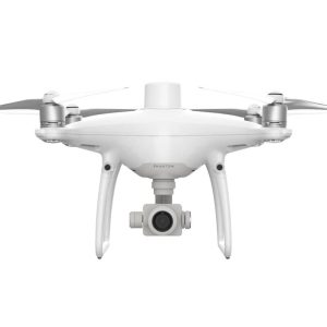
The Phantom 4 RTK is a smart mapping and imaging drone capable of highly accurate mapping functions. The aircraft has a built-in DJI Onboard D-RTKTM, which provides precision data for centimeter-level positioning accuracy. Multi-directional obstacle sensing achieved through vision and infrared sensors enables intelligent obstacle avoidance during flight and indoor hovering and flight.
PointCab Origins
The point cloud software Origins:
Evaluate point clouds easily, for architects, engineers, the construction sector, and more.
Capture your environment, quickly evaluate point clouds, and share results.
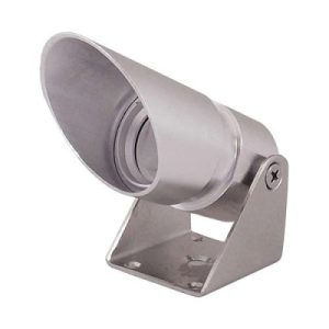
Position Lights
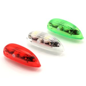
Pair of position lights (1 red, 1 green) 3 different strobe patterns 2 Wing-Tip Fixation Velcro Adhesives Surface cleaning paper Charging device Storage box
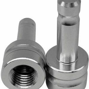
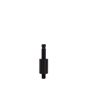
Prism adapter, LEICA plug-in spigot
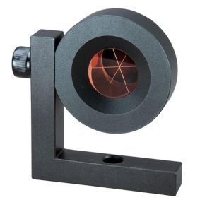
Prism for monitoring L (PR-104)
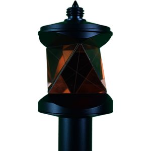
Suitable for permanent installations even in extreme environments. The Leica GMP104 Mini Prism is fixed in a metal housing, providing an extremely robust and precise monitoring target. Supplied with an L-bar for easy installation.
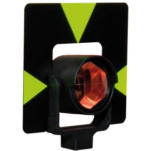
Prism Leica Style GPR
Prism mini for monitoring (PR-120)
Effective diameter: 25.4mm.
Mini monitoring prism mounted in metal holder.
Coating: Silver; Accuracy: 5″; Constant: 0mm.
Net weight: 0.13KG, Size: 10.5*4.5*4.5cm.
Prism material: BK7.
Prism pole, screw clamp, 130-215cm
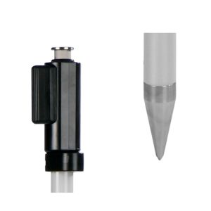
The NESTLE prism pole PA-1-D is characterised by its specially hardened tip, which wears out 95 % less, and the extremely durable aluminium and stainless steel combination. Its robust pressure clamping for the extension tube, shock absorption and indestructible pitch make it universally applicable. A prism adapter is included, please specify your prism type when ordering.
Prism Punch Marker (PN-1)
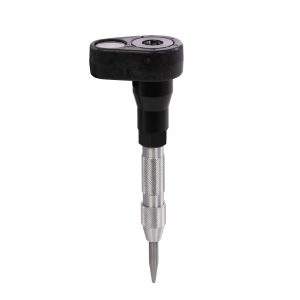
Mini prism pole with bubble level and integrated centre punch tip


