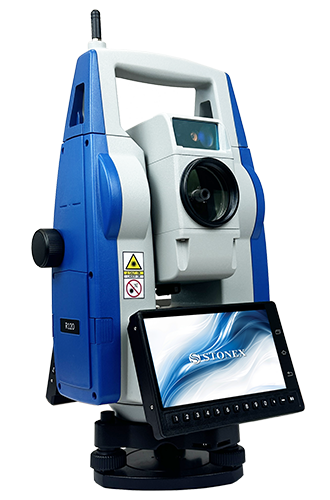
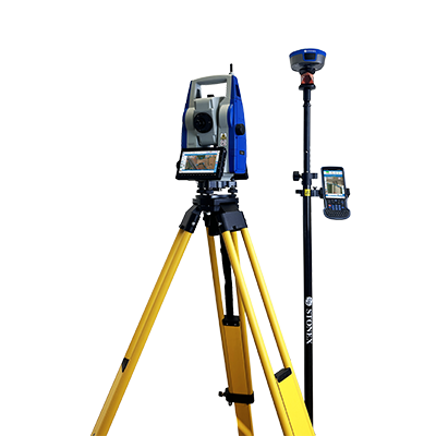
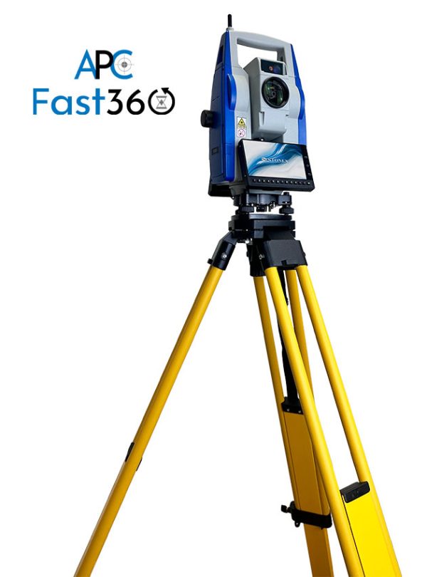
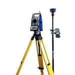
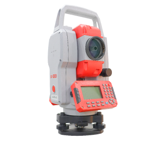
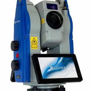
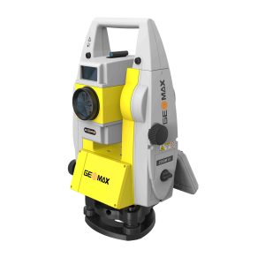
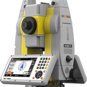
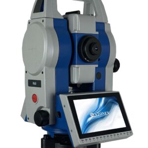
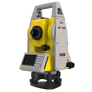
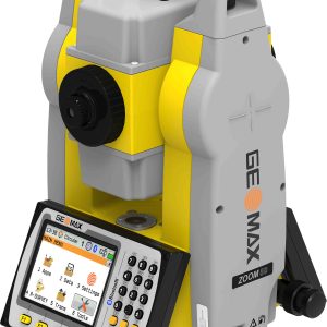
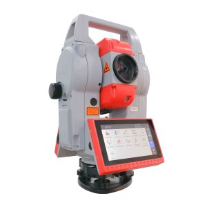
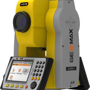
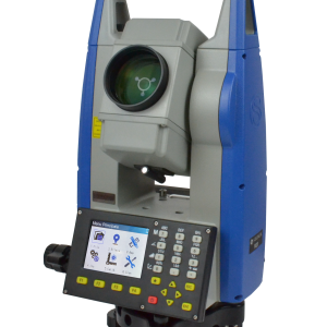
The R120 is designed with a 5.5-inch color touch screen and runs on the Android operating system, making it user-friendly and similar in interface to a smartphone, which enhances data exchange capabilities. The onboard Cube-a software allows operators to seamlessly integrate GNSS tasks with surveys performed using the total station. Communication and data transfer between the station and the controller are facilitated via a Bluetooth connection. Additionally, the R120 has an integrated modem, enabling the operator to connect to the internet and send and receive topographic data.
Cube-a
The R120 is equipped with the Android operating system and comes pre-installed with the powerful Cube-a program. This onboard software allows operators to easily integrate data from GNSS and surveys conducted with the total station. Communication and data exchange between the station and the controller (GNSS) is made simple with a Bluetooth connection. This means that with the total station, surveys carried out with GNSS, can be loaded through an external controller via Bluetooth. These surveys then can be completed within the total station. With Cube-a, users can navigate the program easily and efficiently, accessing all the classic functions of a total station while enjoying the added benefits of the Android operating system. This integration allows for seamless and streamlined workflows, saving time and effort while achieving the highest level of accuracy.R120
SPECIFICATION
- Accuracy
1”-2”
- Reading system
Absolute, continuous four-quadrant
- Display Resolution
0.1〞/ 1〞
- Angle Units
DEG 360°/GON 400/MIL 6.400
TELESCOPE
- Magnification/ Field of view
30x / 1°30’
- Tube length
154 mm
- Minimum focus distance
1.2 m
- Objective aperture
Ø 45 mm (EDM: 50mm)
- Laser pointer
Red laser dot
TILT SENSOR
- Type
Dual-axis liquid-photoelectric sensor
- Compensation range/accuracy
± 4
DISTANCE MEASUREMENT RANGE
- Standard prism mode
3500 m
- Reflectorless
1000 m (800 m, for 2" version )
DISTANCE MEASUREMENT ACCURACY
- Standard prism mode
±1 mm + 1 ppm
- Reflectorless
D<500 ±2 mm + 2 ppm
D>500 ±5 mm + 2 ppm
MEASUREMENT TIME
- Standard prism mode (Tracking/Single)
<0.1 / 0.3 sec
- Reflectorless
Typically 0.8 sec (>500 m, >5 sec)
DISTANCE MEASUREMENT
- Distance Unit
m/US ft/INT ft
- Display Resolution
1mm
MOTORIZATION
- Technology
DC Servo Motor
- Max rotation speed
60°/sec
- APC
Centering Range 3-1000m
Time 3-5 sec
Search range 3-600 m
AIM accuracy ± 1 mm @ 100m
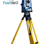
- Fast360
Search range 3-300 m
Search time Typically 90°: 3.5s
Angle H: 360° V: ±18°
- Lock Range
3-600 m
ONBOARD FIELD APPLICATION PROGRAMS
- Cube-a TS-GPS
LASER PLUMMET
- Laser type
Red laser dot, 635nm
- Accuracy
±1.5 mm at 1.5m
LEVEL VIAL SENSITIVITY
- plate level
30‘/2mm
- Circular level
8'
ENVIRONMENTAL CONDITIONS
- Operating Temperature
-20° C +50° C (-4°F to 122°F)
- Storage Temperature
-20° C +60° C (-4°F to 140°F)
- Waterproof/Dustproof
IP55
- Humidity
95% non-condensing
PHYSICAL SPECIFICATION
- Dimensions
217 x 198 x 378mm
- Weight including battery and tribrach
7 Kg
POWER
- Battery Voltage
14.4 V
- Capacity
5400 mAh
- Type
Li-ion
- Operating time
4 hours
- Battery charger
110/220 V, charging time 4h
OTHER SPECIFICATIONS
- CPU
MT6762
- Display
5,5-inch., TFT LCD screen, 720 x 1280 px (2 displays)
- OS
Android 11
- Memory
RAM: 4GB, ROM: 64GB
- Interface
RS-232
USB Type-C (OTG)
Micro SIM
TF Card
- Data transfer
Network 4G
Bluetooth long-range 300m
WLAN
USB-OTG


